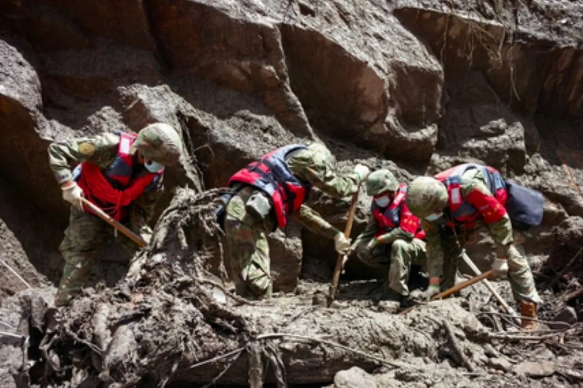
A high altitude ice avalanche originating at an elevation exceeding five thousand meters on the Nepalese side of the border triggered a rapid structural transformation into a high speed debris flow, destroying infrastructure at Gyirong Port twenty kilometers downstream. Rather than a standard flash flood or a localized landslide, the event represents a complex geomorphological cascade. Understanding the destructive mechanism requires dissecting the physical conversion of gravitational potential energy into kinetic force across steep Himalayan terrain.
The Three Stages of Cascade Evolution
The mechanics of the disaster follow a strict sequential evolution: an initial ice rock mass failure, a high velocity channelized bulking phase, and a terminal mudslide impact.
The primary trigger involved approximately two-tenths of a square kilometer of glacial ice detaching from a steep mountain wall, dropping roughly twelve hundred meters vertically to the valley floor. This sudden displacement registered as a 5.2 magnitude seismic event on monitoring instruments, frequently misidentified in initial reports as a tectonic earthquake.
As the massive ice and rock block plummeted, it entered narrow river channels including the Chhochen Khola and Lhende Khola. Steep gradients functioned as a gravitational accelerator, driving the mass forward at velocities reaching approximately fifty meters per second.
During transit, the cascading mass scoured channel beds and eroded riverbanks, continuously entraining loose soil, moraine deposits, and forest debris. This bulking effect radically increased the density and volume of the torrent, transforming a clean ice avalanche into a dense, highly destructive debris flow. Within minutes, the surge crossed international boundaries to strike the border port facilities and inundate downstream valleys.
The Physics of Bulking and Momentum
Traditional flood risk models rely on volumetric water flow calculations, treating liquid mass as a constant variable with predictable frictional resistance. Debris flows operate under entirely different fluid dynamics.
The kinetic energy of the moving mass scales linearly with mass and quadratically with velocity. As the falling ice entrained millions of cubic meters of saturated sediment and rock debris, the specific gravity of the flow increased far beyond that of standard water runoff. This dense slurry exerts immense dynamic pressure upon impact against vertical structures, bridges, and retaining walls.
Channel morphology heavily dictates the amplification of this force. Constricted mountain canyons restrict lateral dispersion, forcing the entire kinetic energy vertical and forward. Water levels in affected tributaries rose by up to nine meters within thirty minutes in specific segments, demonstrating the intense hydraulic choking caused by simultaneous solid and liquid loading. Furthermore, the sudden obstruction of river flows by fallen debris created unstable barrier lakes threatening secondary inundation waves.
Structural Vulnerabilities in High Altitude Corridors
Geographical bottlenecks along the Himalayas create high exposure zones for cross border trade and transit hubs such as Gyirong Port. Valleys situated at the confluence of glacial fed tributaries inherently function as natural sediment deposition zones.
Infrastructure in these corridors is typically engineered to withstand standard monsoon discharge volumes and historical flood peaks. However, the energy release from a high-altitude mass wasting event exceeds standard structural load factors by orders of magnitude. Traditional concrete retaining walls and riverbank fortifications fail instantaneously when impacted by a high velocity slurry containing multi ton boulders and glacial ice blocks.
The transit time from the point of fracture to the border infrastructure was approximately seven minutes. This ultra short response window neutralizes human evacuation protocols and automated gate closures. Sensor arrays positioned near river level are frequently destroyed in the initial moments of the strike, cutting telemetry feeds before downstream stations can issue reliable warnings.
Climate Drivers and Regional Acceleration
The underlying frequency of these catastrophic cascades is tied directly to cryospheric degradation across the Third Pole. The Hindu Kush Himalayan region is warming at roughly twice the global average, driving accelerated thinning and retreat of glacial sheets.
Rising temperatures introduce liquid water deep into the glacier bed, reducing frictional grip against bedrock. Simultaneously, permafrost thaw destabilizes adjacent rock slopes, increasing the volume of loose moraine material available for entrainment. Shorter snow cover seasons and altered freeze thaw cycles exacerbate the erosion rate of high altitude soils.
This creates a structural feedback loop. As glaciers recede, they leave behind unstable over-steepened slopes and poorly consolidated marginal moraines. When an ice avalanche occurs under these conditions, the potential for massive sediment bulking increases exponentially compared to historical baselines.
Deploy satellite radar interferometry to continuously map surface velocity anomalies and crevasse propagation on high altitude hanging glaciers overlooking critical transnational transit corridors, pairing remote sensing data with infrasound acoustic monitors designed to detect mass wasting events at the exact moment of structural detachment.