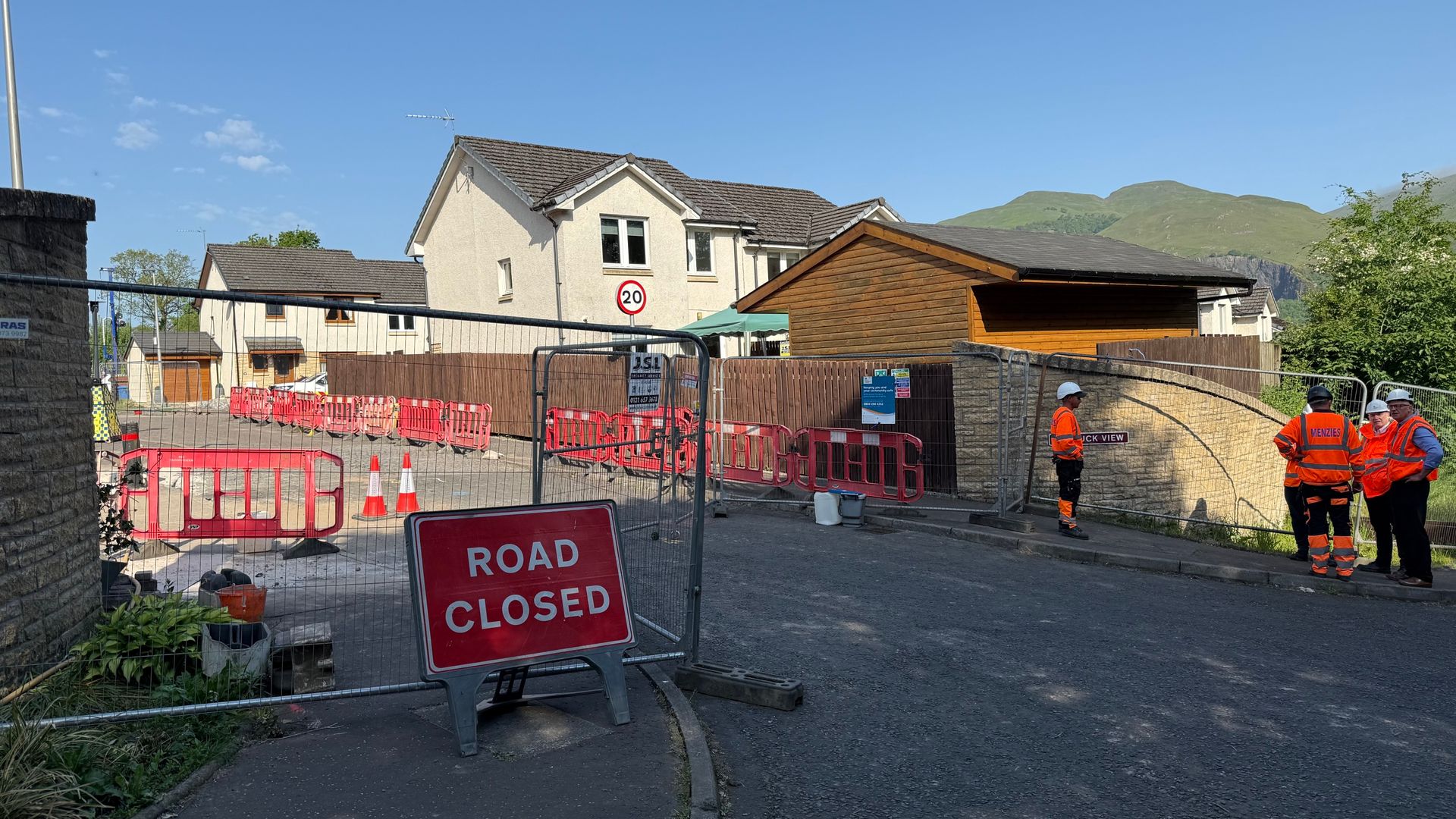
Mass evacuations in historic coal mining regions are treated by the media as sudden, unpredictable acts of God. A patch of earth shifts in a former colliery village, a dozen retaining walls crack, and local authorities rush in with sirens blaring to clear out a hundred families. The narrative is instantly set: a tragic, unforeseen consequence of our industrial past catching up with modern society.
This narrative is completely wrong. It is a lazy consensus designed to shield civil engineers, regional developers, and local councils from their own systemic negligence.
The recent panic over ground movement in old mining communities is not an engineering mystery. It is a predictable, mathematical certainty that was bought, paid for, and ignored decades ago. We do not have a legacy mining crisis. We have an asset management and zoning crisis disguised as a historical tragedy.
The Myth of the Unpredictable Void
Geotechnical engineers have possessed comprehensive, high-resolution mapping of abandoned underground workings for over half a century. The location of every shaft, room-and-pillar void, and longwall retreat is documented. When a modern housing development experiences catastrophic subsidence, it is almost never because a "forgotten" tunnel suddenly materialized on a map.
It happens because the risk modeling used by developers and approved by local planning boards relies on a fundamentally flawed premise: the idea that static geological conditions exist.
When coal was extracted, the remaining rock strata entered a state of altered equilibrium. I have spent twenty years reviewing structural integrity reports for infrastructure projects across former industrial hubs. The most glaring, repeated error is the assumption that if a piece of land has been stable since the mine closed in 1960, it will remain stable forever.
This ignores basic hydrogeology.
- The Water Table Illusion: When mines close, the pumps stop. Over decades, the underground network slowly floods. Water acts as a structural support mechanism under hydrostatic pressure.
- The Drawdown Effect: Modern surface development, localized drilling, and changing climate patterns alter surface drainage. When water tables shift or recede, that hydrostatic support vanishes.
- The Collapse: The void does not change; the fluid mechanics keeping the roof intact do.
To call this an "unpredictable ground movement" is like being surprised that an ice sculpture melts when you turn off the freezer. The data was there. The physics are absolute. The decision to build on top of it anyway was purely financial.
The Real Reason Councils Evacuate Entire Streets
The immediate response to minor ground shifts is almost always over-engineered panic. Evacuating a hundred homes looks like decisive, protective governance on the evening news. In reality, it is a liability shield.
Local authorities are acutely aware that their historical planning permissions are legally vulnerable. If a council approves a residential zone on land with documented subsurface instability without mandating extensive, modern grouting protocols, they are exposed to catastrophic litigation. By declaring an emergency and forcing evacuations at the first sign of a millimeter-scale shift, the narrative shifts from administrative failure to an act of nature.
Consider the economics of structural remediation. Grouting an old mine working—injecting a liquid concrete mix into the voids beneath a single street—costs millions of dollars. It requires deep exploratory drilling, specialized rigs, and weeks of disruption.
If a council admits the ground movement is manageable and localized, they bear the financial burden of fixing it or compensating the homeowners. If they declare the entire zone a sudden, unlivable hazard due to historical factors outside their control, the responsibility gets kicked up to national emergency funds or buried in years of insurance bureaucracy.
Dismantling the Punditry: Your Questions Are Flawed
The public discourse surrounding these evacuations focuses entirely on the wrong issues. Look at the questions routinely asked by journalists and panicked residents, and look at how they fall apart under scrutiny.
Can we accurately predict which house will sink next?
This question assumes that subsidence is a localized, random lottery. It isn't. Ground movement follows the structural geometry of the mine workings below. If you possess the original colliery maps and overlay them with modern satellite-based Interferometric Synthetic Aperture Radar (InSAR) data, you can track millimeter-level surface deformation in real-time. We don't lack the technology to predict subsidence; we lack the political will to publish the maps because doing so would instantly wipe billions of dollars in property values off the local tax rolls.
Shouldn't the mining companies pay for the damage?
This is a favorite talking point for regional politicians looking to score easy points. The entities that extracted the coal dissolved decades ago. Their liabilities were absorbed by state-managed authorities or wrapped into legacy corporations that exist only on paper. Demanding reparations from a ghost is a distraction. The party responsible for the current crisis is the entity that signed off on the building permits for the modern homes sitting on top of those voids.
Is demolition the only safe option for affected homes?
Absolutely not. Structural engineering has evolved far beyond simple abandonment. Micro-piling, historical foundation lifting, and targeted polyurethane resin injection can stabilize properties sitting on highly volatile ground. The decision to demolish is rarely a technical necessity; it is an economic calculation. It is cheaper for an insurance consortium to pay out the depreciated value of a structure than it is to execute a complex, guaranteed geotechnical stabilization project.
The Cost of the Contrarian Truth
There is a distinct downside to acknowledging this reality. If we stop blaming the ghosts of nineteenth-century miners and start blaming modern structural evaluation methods, the entire housing market in former industrial regions collapses.
Imagine a scenario where every home buyer is legally required to review a dynamic hydrogeological model of the subsurface strata before securing a mortgage. Transactions would grind to a halt. Properties across massive swaths of the country would become uninsurable overnight.
I have watched risk assessment firms quietly change their wording from "low risk of historical subsidence" to "insufficient data to quantify long-term subsurface stability." That semantic shift is a silent admission of guilt. They know the old models are broken, but they cannot afford to let the public know how deep the rot goes.
The current strategy relies on maintaining the illusion of safety until a crisis occurs, then acting shocked when the ground gives way. It is a high-stakes game of geographical musical chairs, where the music stops whenever a water table shifts five feet.
Stop looking at the cracks in the asphalt as an unavoidable consequence of history. They are the physical manifestation of a modern regulatory system that actively chooses to ignore physics for the sake of real estate volume. The next time a village is evacuated, do not look down at the old coal seams. Look up at the municipal planning office.