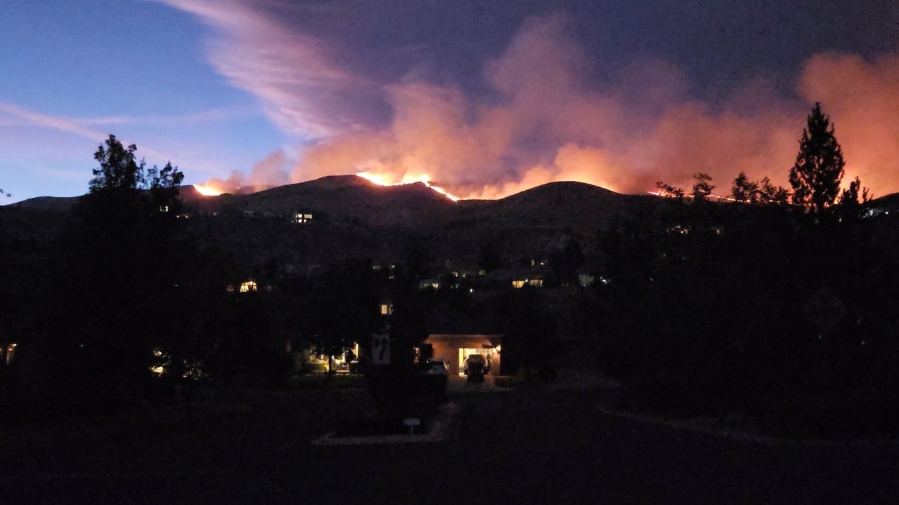
When the Hawk Fire breached acreage thresholds north of Reno, Nevada, the speed of the escalation exposed vulnerabilities in municipal emergency response pacing. Evaluating an urban-interface wildfire requires stripping away emotional narratives to analyze the core variables driving displacement: fuel continuity, wind vector velocity, and the threshold capacity of regional evacuation arteries. Understanding how a brush fire expands past 10,000 acres in a matter of hours demands an operational breakdown of crisis management under severe environmental stress.
The Triad of Rapid Escalation
The velocity of a wildfire is governed by three quantifiable environmental inputs: low relative humidity, dry vegetative fuel loads, and localized wind shear. In the foothills surrounding Peavine Mountain and Somersett, these factors compound non-linearly.
- Vegetative Continuity: Decades of accumulated brush and dry timber create an unbroken energy pathway, allowing fire fronts to transition rapidly from surface fires to crown-driven vectors.
- Atmospheric Desiccation: Extended periods of extreme heat strip moisture from local flora, dropping fuel moisture content to levels where ignition occurs via micro-sparks or thermal radiation well ahead of the primary flame front.
- Topographic Venting: Steep canyons and ridges act as natural nozzles, accelerating wind velocity and directing convective heat transfer directly toward densely populated suburban margins.
This triad creates a propagation rate that frequently outpaces traditional ground-crew deployment schedules. When winds push a front across thousands of acres without containment, tactical strategy shifts immediately from offensive suppression to defensive triage and mass evacuation logistics.
The Economics and Logistics of Mass Displacement
Ordering tens of thousands of residents to evacuate triggers an immediate strain on municipal infrastructure. The cost function of an evacuation is measured not only in direct property protection but in traffic throughput capacity, communication latency, and resource allocation.
When emergency management issues immediate mandatory orders, population response follows a bell curve. Early adopters clear the bottleneck quickly, but a significant percentage delay departure until visual confirmation of the threat arrives. This behavioral latency coincides with the physical narrowing of escape routes caused by smoke reduction of visibility and emergency vehicle staging.
To mitigate gridlock, regional command structures rely on zoned evacuation protocols, distinguishing between "Get Ready" advisory tiers and immediate "Go Now" mandates. However, when wind shifts alter fire vectors unpredictably, these zones must expand laterally, compressing the timeline for law enforcement to secure perimeters and safeguard empty neighborhoods. State-level mobilizations, such as activating National Guard units to support local police, are fundamentally designed to solve the security vacuum created when entire suburban grids are depopulated within hours.
Resource Allocation and Suppression Bottlenecks
Combatting an aggressive urban-interface fire requires a multi-agency unified command capable of synchronizing aerial suppression assets with ground hand crews. The deployment of heavy-lift helicopters and fixed-wing retardant aircraft is heavily constrained by visibility and wind turbulence. If wind speeds exceed safe operational thresholds, air support must be grounded, placing the total burden of containment on ground personnel operating in high-risk topography.
Furthermore, resource competition strains regional networks. When multiple fires draw from the same pool of specialized wildfire personnel and equipment, incident commanders must execute triage, reallocating assets from nearly contained perimeters to newly explosive fronts. This creates temporary blind spots where secondary flare-ups can propagate unchecked.
Deploy regional emergency communication infrastructure via multi-channel geo-targeted alerts to compress public response latency, while simultaneously establishing automated traffic-flow reversals on primary escape corridors to maximize vehicle evacuation rates during high-velocity wind events.