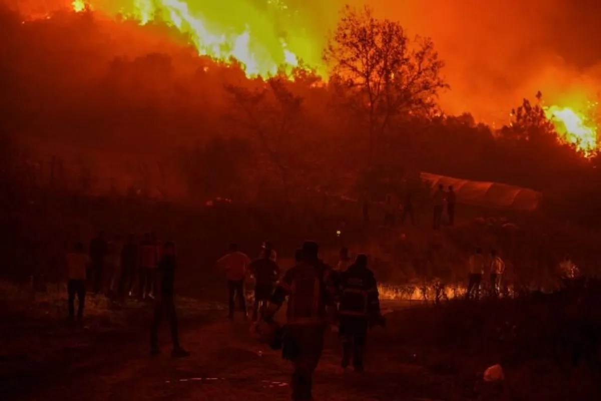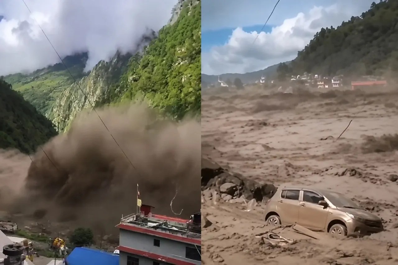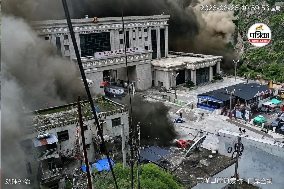
Recent catastrophic flash floods along the Nepal-Tibet border, originating in the high-altitude terrain of Tibet and devastating downstream districts such as Rasuwa and Dhading, exposed critical failure modes in real-time disaster monitoring. Initial automated sensor readings recorded a magnitude 4.4 tectonic tremor, directing emergency response assumptions toward a seismic-induced avalanche. Subsequent analysis of long-period seismic waves and satellite telemetry by the United States Geological Survey revealed that no tectonic earthquake occurred. Instead, the recorded energy—upgraded to a magnitude 5.2 equivalent—was generated entirely by a massive glacial mass detaching from a 5,200-meter cliff and initiating a high-velocity debris flow. Deconstructing this event requires examining the thermal and mechanical vectors that transform high-altitude ice bodies into destructive fluid dynamics before standard monitoring networks can differentiate slip from tectonic faulting.
The Thermal Mechanics of High-Altitude Detachment
The mechanical stability of a hanging glacier depends entirely on basal friction and structural integrity. When atmospheric warming or seasonal melting injects liquid water into a glacier system, that moisture percolates through internal fractures until it reaches the bedrock interface.
- Hydrostatic Basal Lubrication: Liquid water pooling at the base increases pore water pressure, directly reducing the frictional resistance holding the ice mass to the cliff face.
- Gravitational Shear Stress: As the weight of the ice mass overcomes the diminished frictional threshold, shear stress forces a sudden structural failure.
- Kinetic Conversion: The mechanical energy of millions of tons of ice dropping from an elevation of 5,200 meters translates directly into ground-motion signatures that mimic shallow tectonic earthquakes on standard seismographs.
This conversion explains why automated monitoring networks misidentify mass movements. Seismometers measure ground acceleration without inherent context regarding the source mechanism. A rapid-onset landslide or ice-rock avalanche releases low-frequency, long-period seismic waves that read identically to shear-slip faults on automated algorithms until analysts correlate the data with optical satellite imagery.
The Hydrodynamic Multiplier in Confined Gorges
Once the glacial mass detached, it entered the narrow steep-gradient channels of the Lhende Khola and Bhote Koshi river systems. The disaster's downstream lethality was a function of channel morphometry rather than simply the volume of the initial ice collapse.
[Glacial Collapse at 5,200m]
       │
       ▼
[High-Velocity Debris Flow]
       │
       ▼
[Narrow Gorge Constriction] ──> Exponential Velocity Gain & Damming Effect
       │
       ▼
[Catastrophic Wave Surging] ──> Up to 27-foot rise in 30 minutes downstream
Mountainous gorges restrict lateral dissipation, forcing floodwaters and displaced sediment upward rather than outward. Hydrological observations from the region recorded water levels surging by up to 27 feet within a thirty-minute window. This hyper-concentrated slurry of ice, mud, and boulders acts as a dense non-Newtonian fluid. It scours riverbanks, dislodges additional sediment, and occasionally forms temporary natural dams that fail catastrophically, releasing secondary surges with little to no warning.
Infrastructure Vulnerability and Regional Cascades
The economic and structural cost of the event highlights the vulnerability of linear infrastructure in high-relief mountain topography. Operating hydropower facilities and civil assets located within narrow river corridors face distinct engineering challenges during mass-flow events.
- Hydropower Impairment: Run-of-the-river installations lack the massive storage capacity of large reservoirs, leaving them entirely unprotected against high-density bedload surges that choke intakes and destroy turbines.
- Transport Corridor Severance: Cross-border trade routes, such as the Gyirong Port infrastructure, are typically restricted to valley bottoms where flat land permits construction, placing transit hubs directly inside high-risk hydraulic pathways.
- Evacuation Latency: Given the steep velocity profiles of glacial outbursts, the time window between initial detachment at high altitude and impact at downstream settlements is often measured in minutes, rendering conventional downstream warning systems ineffective if they rely on upstream visual confirmation.
Operational Forecasts for High-Altitude Catchments
Mitigating future mass-flow disasters requires shifting surveillance protocols away from reactive seismic monitoring toward proactive thermal and geodetic tracking. Automated systems must incorporate real-time satellite radar interferometry to measure surface velocity changes and structural bulging on hanging glaciers before detachment occurs. Integrating thermal imaging to track internal meltwater accumulation rates will offer a more reliable early-warning threshold than waiting for seismic sensors to register ground failure. Regional disaster response frameworks must treat high-altitude ice masses as active hydrological hazards, designing infrastructure redundancies that anticipate sudden, non-tectonic base-level surges rather than relying on historical flood frequency distributions.