We talk about polar ice sheets as if they are giant ice cubes sitting in a glass of warm water, melting slowly at the edges under a summer sun. That mental picture is convenient, but it is fundamentally wrong.
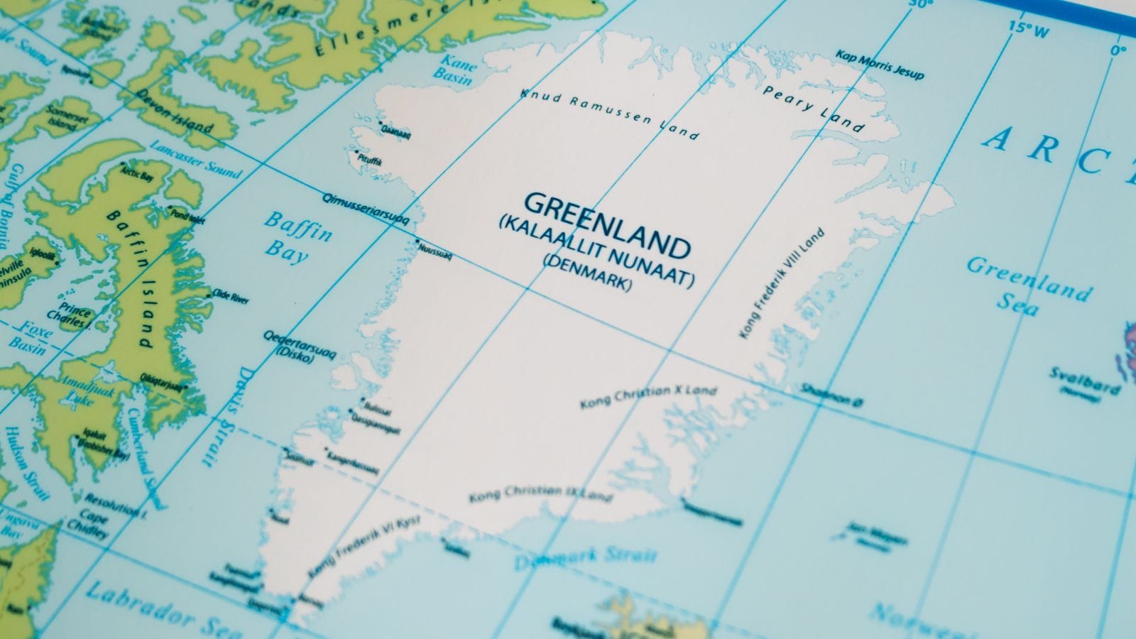
When researchers aggregate the longest satellite data records ever assembled—courtesy of multi-agency efforts through the Ice Sheet Mass Balance Intercomparison Exercise (IMBIE) backed by space agencies like ESA and NASA—the reality on the ground and at the ice-ocean boundary is far more dynamic. Greenland and Antarctica have lost over 11 trillion tonnes of ice since the 1970s. Yet the primary driver isn't just surface meltwater running off into the sea. It is the mechanical acceleration of glaciers draining straight into the ocean.
The Satellite Revolution That Changed How We Track Ice
Before spaceborne observation became the standard, getting a reliable handle on what was happening across millions of square kilometers of frozen wilderness was basically guesswork. Scientists relied on scattered field expeditions and localized measurements that could never capture the continental scale.
Everything shifted when satellite missions began monitoring Earth's poles continuously. Today, scientists reconcile dozens of independent surveys derived from three distinct observational techniques:
- Radar and laser altimeters: Instruments aboard spacecraft like ESA's CryoSat measure minute changes in the height of the ice surface over time.
- Gravimetry missions: Satellites like the US-German GRACE missions track shifts in Earth's gravity field, weighing the ice sheets from space as their mass fluctuates.
- InSAR and optical sensors: Spaceborne radar tracks how fast individual outlet glaciers are moving toward the sea.
Combining these techniques is no small task. Satellites evolve, instruments change, and different retrieval models must be carefully cross-calibrated. By reconciling 42 to 50 independent surveys covering decades of observation, researchers can separate genuine mass loss from technical artifacts. The resulting timeline stretches back to 1972 for Greenland and 1979 for Antarctica, offering a half-century window into polar stability.
Why Glacier Dynamics Matter More Than Surface Melt
If you ask someone why ice sheets are shrinking, they will usually mention air temperatures rising above freezing. While atmospheric warming does trigger massive surface melt—particularly during Arctic heatwaves like the one in 2019 that drained 444 billion tonnes from Greenland in a single year—surface melting only tells part of the story.
Data spanning five decades reveals that more than 80% of total ice losses from Greenland and Antarctica are driven by glacier dynamical imbalance. As warmer ocean currents undercut floating ice shelves and marine-terminating glacier fronts, these massive rivers of ice lose their structural restraint. They speed up, thinning rapidly and dumping unprecedented volumes of solid ice directly into the sea.
This marine-ice sheet instability is particularly pronounced in West Antarctica, where bedrock sits well below sea level, sloping downward toward the interior. Once warm water breaches the grounding line, retreat can become self-sustaining. East Antarctica, by contrast, has historically remained closer to a state of mass balance, though even its stability is tested by shifting snowfall patterns and regional anomalies.
What This Means for Global Sea Levels
The cumulative numbers are staggering. Between 1979 and 2023, the combined discharge from Greenland and Antarctica drove global mean sea level up by over three centimeters. While that might sound minor on a daily weather scale, it drastically increases the frequency and severity of coastal flooding, storm surges, and saltwater intrusion during high tides worldwide.
In the early decades of the satellite record, polar ice loss accounted for only a minor fraction of overall sea-level rise. Today, that contribution has surged to roughly a quarter of all global sea-level rise. The rate of mass loss has multiplied several times over since the 1990s. Climate models incorporated into Intergovernmental Panel on Climate Change projections rely heavily on these calibrated satellite time-series to forecast future trajectories. If current acceleration persists, polar melt will dictate the pace of coastal adaptation throughout this century.
Continuous space observation remains our primary early-warning system. Watching these frozen giants from orbit isn't just an academic exercise; it is how we track the physical limits of planetary stability in real time.