Coastal residents and weekend travelers across Southern California are once again bracing for the oceanographic disruptions triggered by Tropical Storm Marie. Memories of the historic 2014 event loom large, when a similarly named system sent destructive waves battering the coastline, tearing apart breakwaters and tossing three-thousand-pound boulders onto Santa Catalina Island. While direct landfall remains an impossibility given the prevailing steering currents that push Eastern Pacific storms safely out to sea, the distal impacts of a powerful offshore system demand intense scrutiny. Water does not care about center tracks when the fetch is right. Heavy south-to-southeast swells are wrapping into typically protected shorelines, threatening structural damage, severe beach erosion, and treacherous rip currents just as holiday crowds descend on the sand.
Understanding why a storm churning hundreds of miles away can violently rearrange a Southern California beach requires looking past simple weather app icons and examining marine physics. When an Eastern Pacific tropical cyclone intensifies off the coast of mainland Mexico or the Baja Peninsula, its counterclockwise rotation acts as a massive marine engine. If the trajectory aligns favorably relative to the local bathymetry, it establishes a continuous, high-energy fetch. This sustained band of winds pushes water molecules across thousands of open ocean miles, organizing chaotic wind chop into clean, long-period groundswells.
Long-period swells carry immense subterranean energy. Unlike wind waves that break harmlessly on the surface, these swells feel the ocean floor long before they reach the shore. As they march over underwater canyons, shelves, and ridges, submarine topography refracts and focuses the wave energy like a magnifying glass. Certain stretches of coastline, such as the Palos Verdes Peninsula, specific pockets of Malibu, and the Newport Beach Wedge, experience an amplification effect. A deep-water swell measuring six feet out in the open channel can morph into a towering, destructive set when it hits shallow water at an unconventional angle.
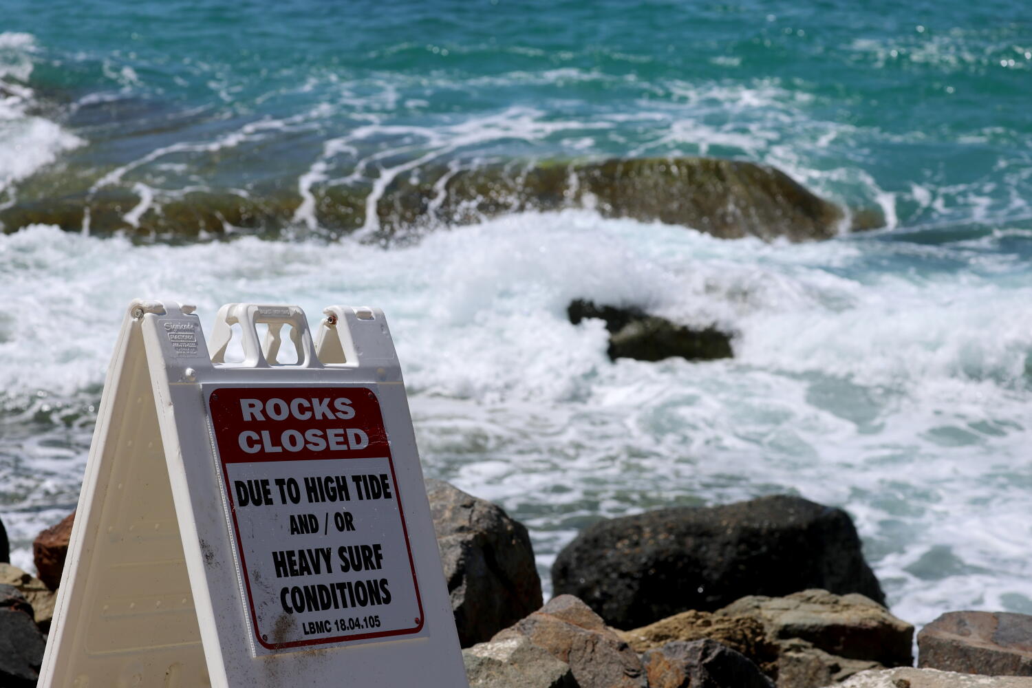
The structural vulnerability of coastal infrastructure during these events is rarely just a matter of wave height. Tidal cycles dictate the threshold between manageable surf and catastrophic flooding. When a massive southern swell coincides with a high astronomical tide or king tides, the safety margin vanishes entirely. Seawalls built decades ago under different baseline sea-level assumptions take the brunt of the kinetic force. Water surges past standard beach berms, inundating low-lying coastal access roads, parking lots, and residential foundations.
City planners and emergency management agencies face an unenviable balancing act when these swells materialize. Overreacting by closing popular beaches wholesale triggers economic friction and public pushback, while underestimating the ocean leads directly to mass rescues and preventable tragedies. Ocean lifeguards routinely pull dozens of exhausted swimmers and surfers from heavy rip currents during these swells. The average beachgoer vastly underestimates the sheer momentum of moving water. A foot of fast-moving coastal surge possesses enough force to sweep an adult off their feet and carry them into deep water within seconds.
Navigating the weekend requires abandoning the assumption that a clear blue sky overhead guarantees a safe ocean. Coastal safety hinges on respecting the horizon and recognizing the warning signs of a compromised marine environment. Swimmers should avoid south-facing beaches entirely during peak swell windows, while property owners in low-lying zones must secure loose outdoor assets against potential saltwater inundation. The ocean commands absolute respect, and treating a major swell event as a casual spectator sport is a gamble that rarely pays off.