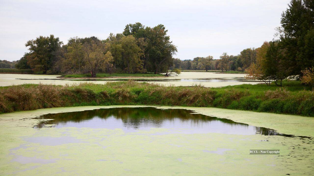
When private landowners spend a decade contesting regulatory frameworks to preserve two thousand acres of floodplain, the event is typically framed as a human-interest story of David versus Goliath. That narrative obscures the structural inefficiencies of modern conservation finance and the severe valuation distortions inherent in wetland property rights. Preserving two thousand acres of ecologically sensitive floodplain along the Mississippi River corridor requires navigating a labyrinth of federal acquisition policies, localized zoning restrictions, and opportunity costs that routinely pit multi-generational agricultural operations against municipal climate resilience goals.
Understanding this dynamic demands an analytical dismantling of how land value is calculated, why eminent domain and conservation easements frequently trigger protracted legal friction, and what the mechanics of long-term ecological preservation actually cost private estates.
The Valuation Paradox of Marginal Agricultural Land
Floodplains occupy an economic purgatory. From an agronomic perspective, these parcels offer high alluvial soil fertility due to centuries of sediment deposition. From a operational risk perspective, they present an annualized probability of inundation that destroys crop yields, damages heavy machinery, and inflates insurance premiums.
When a family farms two thousand acres of floodplain for decades, their financial model is governed by a stochastic yield curve. In dry years, the soil outperforms higher-elevation acreage. In wet years, the entire capital investment in seed, fertilizer, and diesel fuel washes downstream.
[Stochastic Yield Curve in Floodplains]
   Dry Year: High Yield / Maximum Margin
   Wet Year: Total Loss / Negative Capital Recovery
   Long-Term Trend: Declining Risk-Adjusted ROI due to frequency of extreme weather events
Standard real estate appraisal models fail to capture this volatility accurately. Municipal assessors often evaluate agricultural land based on historical crop production averages without adequately discounting for the rising frequency of severe hydrological events. Consequently, landowners face escalating tax burdens on assets that carry a worsening risk profile.
When conservation entities—such as state departments of natural resources or federal agencies like the Natural Resources Conservation Service—attempt to acquire these tracts, a valuation gap immediately materializes. The state offers fair market value based on current agricultural zoning, which assumes uninterrupted farming potential. The landowner, factoring in the sweat equity and historical attachment of a multi-generational operation, calculates value through the lens of replacement cost and historical family investment.
This valuation asymmetry is the primary engine of decade-long legal stalemates. Conservation buyers view the transaction as a standard acquisition of marginal asset classes. Landowners view it as an underpriced forced liquidation of generational equity.
Mechanics of Conservation Easements Versus Fee-Simple Acquisition
Resolving a ten-acre dispute is straightforward; managing a two-thousand-acre contiguous floodplain intervention requires sophisticated legal machinery. Two primary instruments govern these transactions, each with distinct capital structures and operational burdens.
Fee-simple acquisition transfers total ownership, including all subsurface, surface, and development rights, to a public or non-profit entity. While this provides maximum ecological control, it instantly removes productive land from local tax rolls. For rural townships dependent on property tax revenues to fund infrastructure, the sudden removal of two thousand acres creates a fiscal deficit. This sparks fierce local political opposition that often manifests as county-level resistance to state or federal conservation initiatives.
Conservation easements bypass total ownership transfer. The landowner retains title to the property but legally surrenders specific rights, primarily the right to drain, build structures, or convert natural cover to intensive agriculture.
The economic trade-off of an easement rests on the compensation formula. A perpetual conservation easement typically pays the landowner a percentage of the fee-simple value, calculated as the difference between the land's value unencumbered and its value encumbered. For floodplain acreage, this payment must be high enough to offset the foregone revenue of the rare high-yield harvest years.
Easement Valuation Formula:
V(easement) = V(unencumbered agricultural) - V(restricted conservation use)
The friction in the studied Wisconsin case stemmed from the transition zone between voluntary easement programs and regulatory overreach. When conservation goals expand from simple soil stabilization to regional flood attenuation for downstream metropolitan areas, the landowners bear the opportunity cost of functioning as a natural infrastructure sponge for cities miles away. Without proportional compensation for this ecosystem service, the legal resistance becomes a rational economic defense mechanism.
The Regulatory Friction Points
Navigating federal and state environmental frameworks requires enduring systemic administrative friction. The National Environmental Policy Act, state-level wetland protection statutes, and county zoning ordinances create a polycentric governance structure where multiple bureaucratic bodies hold veto power.
Polycentric Governance Bottlenecks:
1. Federal Oversight: Clean Water Act Section 404 permits and NRCS program compliance.
2. State Jurisdiction: Department of Natural Resources water rights and public trust doctrines.
3. Municipal Level: County zoning boards managing tax base impacts and local land-use codes.
This multi-tiered oversight creates a severe coordination failure. Federal agencies push for maximum ecological restoration, prioritizing contiguous wetland connectivity to reduce downstream peak discharge rates. State agencies focus on water quality metrics and native species habitat restoration. County governments remain laser-focused on local economic resilience and tax stability.
When these priorities collide, the timeline stretches from months to decades. Landowners caught in this regulatory crossfire experience severe capital lockup. They cannot invest in long-term agricultural infrastructure because an easement or acquisition is pending, yet they cannot monetize the land through conservation sales because the bureaucratic machinery is paralyzed by inter-agency disputes.
The decade-long duration of the Wisconsin dispute is not an anomaly; it is the predictable output of a system where environmental policy goals are pursued through litigation and administrative attrition rather than streamlined market mechanisms.
Opportunity Costs and Regional Hydrology
The ultimate justification for preserving two thousand acres of floodplain is hydrological function rather than passive aesthetics. Floodplains act as natural retention basins, slowing the velocity of floodwaters, reducing peak discharge, and allowing suspended sediments to settle out before reaching major river systems.
From a systems engineering perspective, constructing artificial retention infrastructure—such as levees, concrete spillways, and retention ponds—to handle the volume of water absorbed by two thousand acres of natural floodplain requires millions of dollars in upfront capital expenditure and ongoing maintenance liabilities.
Cost-Benefit Vector:
Natural Floodplain: Higher upfront acquisition cost / Zero ongoing mechanical maintenance / High ecological yield
Artificial Infrastructure: Lower initial footprint / High perpetual maintenance liability / Zero ecological yield
Despite the obvious long-term fiscal efficiency of natural infrastructure, municipal capital budgeting frameworks are biased against land acquisition. Public works departments routinely secure bond funding for concrete infrastructure because depreciation schedules and engineering contracts fit neatly into traditional municipal finance models. Conversely, acquiring and restoring private floodplain acreage lacks clean depreciation metrics, making it a difficult sell for fiscal conservatives on county boards.
Furthermore, the regional hydrology dictates that upstream preservation yields massive downstream savings. Water retained in northern or western floodplain zones flattens the hydrograph for urban centers downstream, reducing property damage to commercial real estate and municipal water treatment plants.
Yet, current institutional frameworks lack a mechanism for downstream beneficiaries—such as municipal taxpayers in metropolitan areas—to directly subsidize the property tax losses and acquisition costs incurred by the rural county where the floodplain resides. This fiscal mismatch ensures that local resistance will remain high whenever external entities attempt to alter rural land-use designations.
Strategic Allocation of Capital for Watershed Resilience
Addressing the systemic failures exposed by prolonged conservation battles requires a radical restructuring of how land-use transitions are financed and executed.
First, municipal and state agencies must abandon flat-rate easement valuations in favor of dynamic risk-adjusted pricing models. Easement compensation must explicitly incorporate the rising actuarial cost of flood insurance and the declining predictability of agricultural yields in marginal zones. When landowners are compensated not merely for lost crop production, but for the quantified ecosystem service of urban flood protection, the economic incentive to fight conservation efforts evaporates.
Second, regional watershed districts must institute direct cross-subsidization mechanisms. Urban centers that derive direct economic protection from upstream floodplain preservation should contribute directly to the local tax base of the rural counties hosting the conservation land. Neutralizing the county-level fear of tax erosion eliminates the political leverage local governments use to stall conservation projects.
Finally, the acquisition timeline must be compressed through pre-clearance regulatory streamlining. Establishing pre-designated priority conservation zones where environmental reviews are front-loaded at the state level prevents individual projects from getting bogged down in sequential inter-agency reviews.
The successful protection of two thousand floodplain acres should not require a ten-year war of attrition between private stewards and public regulators. By aligning financial compensation with true systemic risk and modernizing the mechanisms of conservation finance, future land-use transitions can transition from adversarial legal battles to efficient, market-driven infrastructure investments.